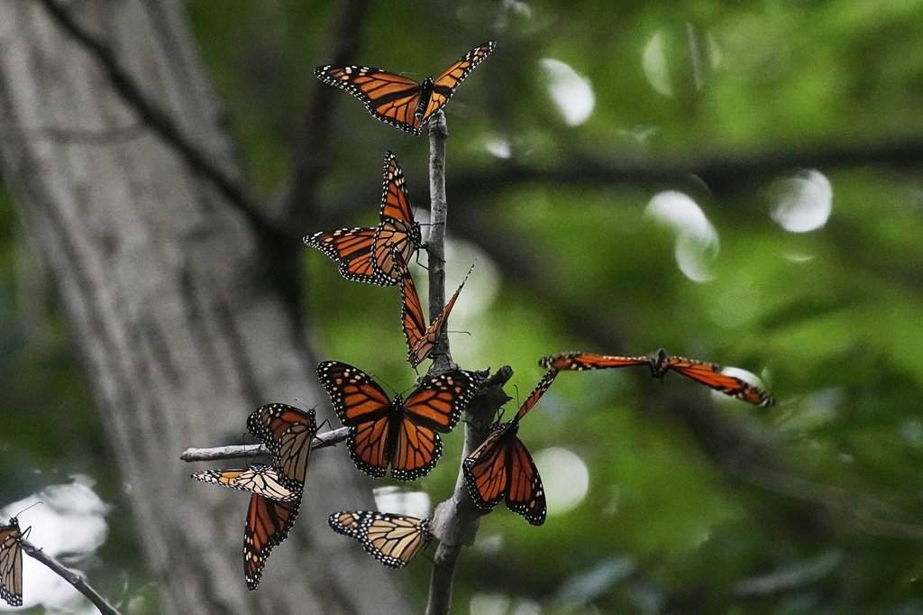
Citizen science initiatives operating at regional scales face a fundamental tension between data volume and spatial accuracy. When tracking migratory insects such as the monarch butterfly across provinces like New Brunswick, traditional research frameworks struggle with resource allocation, geographic coverage limitations, and observational bias. Relying solely on professional entomologists creates severe bottlenecks in tracking longitudinal population shifts. Distributed crowdsourced monitoring protocols eliminate these constraints by turning public cellphone access into an expansive telemetry grid. Understanding how this decentralized architecture functions requires examining its structural mechanics, observer error variables, and data calibration methods.
The Mechanics of Public Telemetry Networks
Standard ecological monitoring relies on systematic trapping, professional tagging, and standardized transect counts. In contrast, crowdsourced butterfly tracking transforms general observation into active data points through smartphone integration. The operational workflow depends on three core components: high-resolution photographic documentation, timestamped geotagging, and cloud-based repository aggregation.
When an observer spots a tagged or untagged monarch butterfly, the primary requirement is capturing actionable metadata. Modern smartphones automatically embed GPS coordinates and precise UTC timestamps into image files. This metadata eliminates historical transcription errors inherent in paper-based record-keeping. The image acts as a permanent verification voucher, allowing researchers to independently confirm species identification, tag alphanumeric codes, and assess wing wear conditions.
The scaling efficiency of this approach is exponential. A single research team might cover twelve designated transects per week; a populace equipped with cellular devices operates hundreds of thousands of simultaneous observation points across diverse microhabitats, urban gardens, and agricultural buffer zones.
Variable Calibration and Error Management
Uncontrolled observation networks introduce significant noise into ecological datasets. Unlike professional researchers trained in standardized sampling effort, citizen scientists exhibit uneven spatial distribution and variable temporal commitment. Mitigating these statistical distortions requires rigorous data filtration frameworks.
Spatial bias represents the primary analytical distortion. Populations concentrated near high-density human settlements, parks, and maintained trails receive disproportionate observation frequency, while remote forests or private industrial lands remain entirely unmonitored. Analysts correct for this uneven sampling effort by implementing presence-absence modeling and standardizing sightings per unit of search effort.
False positives in species identification and tag reading present another structural challenge. Observers frequently confuse monarch butterflies with lookalike species such as the Viceroy or the Painted Lady, particularly in low-light conditions or from a distance. To maintain data integrity, validation protocols incorporate machine learning image pre-screening coupled with crowdsourced expert verification before any record enters the permanent longitudinal database.
Environmental Variables and Migratory Routing
Tracking monarch tags recovered in New Brunswick provides critical insights into the northern expansion and eastern flyway corridors of the North American migratory population. Environmental variables heavily dictate the speed, altitude, and trajectory of seasonal movement.
Temperature thresholds dictate flight feasibility. Monarchs require ambient temperatures generally above 13 degrees Celsius to warm their flight muscles sufficiently for sustained aerial locomotion. Consequently, northern migration patterns tightly mirror springtime thermal isotherms. Southerly winds accelerate northward progression, whereas persistent blocking highs or cold fronts force grounding events that concentrate butterflies in predictable coastal or river valley corridors.
The presence of specific host plants, specifically various milkweed species (Asclepias), combined with late-season nectar sources like goldenrod and asters, dictates stopover duration. When citizen scientists record tagged individuals, they are not merely logging a static position; they are identifying critical resource nodes along an invisible ecological highway.
Data Integration and Predictive Population Modeling
Aggregating thousands of disparate smartphone-sourced records yields actionable insights only when synthesized through quantitative ecological models. Raw point data must be transformed into dynamic density maps and velocity vectors that estimate directional movement rates and total generational survival probabilities.
By correlating tag recovery locations with regional land-use metrics, pesticide application data, and weather patterns, researchers can isolate the primary ecological pressures impacting regional population health. If tag recovery density drops precipitously within specific agricultural corridors, conservation managers can direct targeted policy interventions or habitat restoration grants precisely where systemic failure occurs.
Deploy citizen-driven observation frameworks with standardized metadata requirements to maximize scientific yield from public participation networks. Focus recruitment and training efforts on under-sampled rural corridors to correct spatial bias before scaling broad public engagement campaigns.