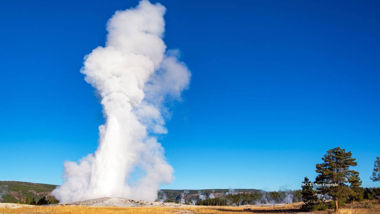
The mechanics governing Yellowstone National Park’s Upper Geyser Basin rely on a closed-loop thermodynamic feedback system that has historically evaded direct structural imaging. Traditional geological assessment methods in geothermal zones face severe constraints due to environmental sensitivity and the acoustic interference of active tourism infrastructure.
Recent high-density nodal seismometry transforms ambient environmental noise into coherent structural data, mapping the fluid storage volumes feeding Old Faithful. This analysis deconstructs the physical dimensions, seismic precursors, and mass-balance equations governing the subterranean reservoir. Meanwhile, you can explore related developments here: The Anatomy of a Broken Telephone in the Middle East.
The Architectural Mechanics of the Subsurface Reservoir
Surface eruptions of Old Faithful occur at intervals ranging from 44 to 125 minutes, yet the volume evacuated during an individual surface display represents a fraction of the total fluid sustained within the local hydrogeological network.
High-density deployments of autonomous nodal seismometers—compact, six-inch recording units originally engineered for industrial seismic profiling—capture continuous ground motion without introducing active, destructive energy sources. By utilizing ambient noise generated by wind, pedestrian traffic, and boiling hydrothermal fluids, analysts extract empirical velocity models of the shallow crust. To understand the complete picture, check out the recent article by USA Today.
The resulting seismic cross-sections reveal a distinct spatial anomaly situated laterally offset from the surface vent.
- Volumetric Capacity: Seismic wave scattering and velocity reduction patterns indicate a fracture-controlled network spanning approximately 200 meters in diameter. The estimated storage capacity of this interconnected void space totals roughly 300,000 cubic meters, equating to approximately 79 million gallons.
- Mass Balance Discrepancy: An individual eruption expels approximately 30 cubic meters, or 8,000 gallons, of water and steam. The storage-to-discharge ratio exceeds 10,000 to 1, proving that surface behavior is dictated by minor pressure fluctuations within an immense, stable reservoir rather than the complete evacuation of a localized pocket.
- Conduit Offset: The vertical plumbing network feeding the geyser is offset by approximately 20 meters southwest of the surface vent between depths of 20 and 80 meters. The upper terminus of this conduit functions as a structural bubble-trap, accumulating phase-change energy prior to surface release.
Thermodynamic Precursors and the Seismic Cycle
The operational cycle of Old Faithful follows a strict temporal pattern dictated by thermodynamic recharge rates. Understanding this cycle requires examining the relationship between mechanical ground tremors and fluid phase changes.
[Deep Magmatic Heat Source (5-40 km)]
       │
       ▼ Thermal Conduction
[Subsurface Fractured Reservoir (~79M Gallons)]
       │
       ▼ Periodic Bubble Collapse (60-min tremor phase)
[Bubble-Trap Conduit Offset (20m Southwest)]
       │
       ▼ Pressure Threshold Reached
[Surface Eruption (~8,000 Gallons)]
The temporal sequence manifests in two distinct phases:
- The Tremor Phase: Following an eruption, the subterranean cavity undergoes a 60-minute recharge period characterized by intense seismic tremors. These vibrations do not originate from tectonic faulting, but from acoustic shockwaves generated by pressurized steam bubbles rising from deep channels and imploding as they encounter cooler water.
- The Dormant Phase: A subsequent 30-minute quiet period follows the tremor phase, during which the system seals internally, allowing pressure to build monotonically toward the critical threshold required for the next surface display.
Counterintuitively, the peak of seismic tremor intensity does not coincide with the surface eruption. The eruption occurs immediately after the intense tremor phase subsides, marking the exact moment the conduit's internal pressure overcomes hydrostatic head weight and flashes liquid water into expanding steam.
Hydrogeological Boundaries and Environmental Constraints
Imaging shallow geothermal plumbing presents unique operational hurdles. Conventional active seismic surveys—those requiring controlled explosions or heavy drop-weights—are prohibited within the fragile Yellowstone Upper Geyser Basin. Furthermore, the presence of critical park infrastructure, including historical lodges, walkways, and visitor centers, restricts invasive drilling or physical sampling.
Passive seismic interferometry bypasses these constraints. By treating the hydrothermal system itself as a controlled acoustic source, researchers isolate specific frequency bands traveling through altered clay sequences and water-saturated rhyolite tuffs.
The primary limitation of this passive imaging model lies in resolution decay with depth. While near-surface resolution down to 400 meters achieves high fidelity through nodal density, distinguishing micro-fracture connectivity at greater depths requires dense sensor configurations maintained over multi-month observation windows.
Strategic Deployment of Passive Seismic Networks
The methodology validated at Old Faithful establishes a blueprint for monitoring active hydrothermal infrastructure across other high-enthalpy volcanic fields, such as the Steamboat Geyser system in Nevada.
Future monitoring frameworks must prioritize permanent, low-cost nodal arrays to track the evolution of subsurface storage volumes in real time. By continuously measuring seismic velocity shifts and tremor migration vectors, geologists can quantify changes in recharge rates, assess thermal-stress impacts on built environments, and model fluid migration pathways before structural anomalies manifest at the surface.