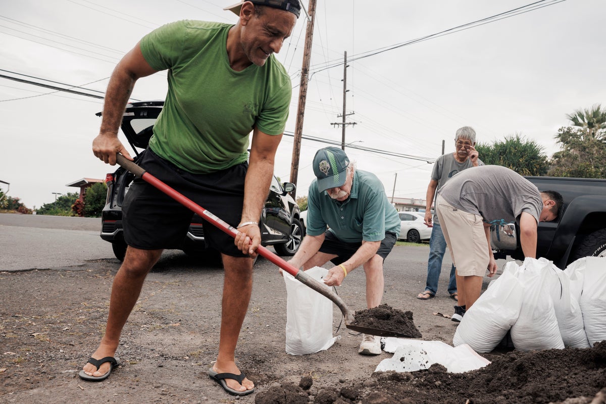
Tropical Storm Lala is bearing down on the Hawaiian Islands with maximum sustained winds of 75 mph, prompting rare hurricane warnings for the Big Island as emergency officials brace for torrential downpours and life-threatening flash floods. With the system tracking perilously close to the southern coast, the state faces a meteorological hazard profile it has rarely encountered in modern records.
Most civilian commentary treats incoming Pacific systems as standard seasonal anomalies. They are not. Central Pacific hurricanes and high-intensity tropical storms operate under a different set of physical rules shaped by localized sea surface temperatures, complex island topography, and upper-level wind shear. When a system like Lala expands its wind field outward by more than 200 miles, the immediate threat goes far beyond coastal storm surge. It touches deep structural vulnerabilities in infrastructure, regional emergency logistics, and off-grid residential communities.
The Topographic Trap
The Hawaiian archipelago acts as an aggressive physical wedge against incoming atmospheric moisture. As moist maritime air driven by Lala encounters the massive volcanic slopes of Mauna Kea and Mauna Loa, it is forced upward rapidly. This process, known as orographic lift, cools the air mass and wrings out moisture with terrifying efficiency.
Forecasters at the National Hurricane Center project rainfall totals reaching up to 25 inches across higher elevations on the Big Island. That volume of water falling on steep, porous volcanic terrain creates an immediate recipe for catastrophic debris flows and landslides.
Soil saturation happens fast. When ancient, fragmented lava rock mixes with torrential downpours, hillsides simply give way. Rural pockets where residents live off the grid in lightweight or improvised structures face severe exposure. Evacuation alerts often struggle to reach these isolated populations effectively, leaving emergency services with difficult rescue operations once conditions deteriorate.
Wind Acceleration Zones
People frequently misinterpret wind speed metrics issued in standard advisories. Near-surface sustained wind readings do not reflect what happens when gale-force air hits steep mountain passes and elevated ridges.
As winds strike the windward and leeward slopes of Hawaii's massive peaks, the physical compression of airflow can accelerate speeds by up to thirty percent above baseline forecasts. A tropical storm or a minimal Category 1 hurricane can thus produce localized wind gusts capable of snapping heavy timber, tearing roofs from older residential framing, and bringing down widespread power grids.
The threat profile also includes an unexpected hazard: wind-driven wildfire risk. Low-humidity air pulled along the periphery of the system, combined with high-velocity gusts over dry brush, creates a volatile secondary danger. The tragic memory of recent historical fires on neighboring islands remains fresh in the minds of emergency managers, heightening the urgency behind red-flag warnings issued across dry leeward zones.
Logistical Vulnerabilities Across an Isolated Chain
Managing an emergency response across an island chain is an exercise in extreme logistical friction. Heavy transport depends entirely on maritime ports and regional airports that must secure their facilities hours before landfall.
When airlines cancel flights into Kona and Hilo, and port authorities restrict vessel movements, the flow of emergency medical supplies and backup generator fuel gets bottlenecked. Inter-island dependency means that resources cannot be shifted instantaneously from Honolulu to Hilo if sea conditions close local harbors.
Municipal water systems, heavily reliant on electric pumps for well distribution, face imminent failure wherever widespread power outages strike. Diesel backup generators mitigate the risk, but fuel supplies are finite if grid repairs stretch across multiple days. Residents living in urban centers on Oahu and Kauai face different pressures, rushing to clear storm drains and secure coastal property as tropical storm warnings expand westward.
The Historical Baseline Trap
Public complacency remains one of the greatest obstacles during Pacific storm events. Because direct hurricane landfalls are statistically rare in Hawaii—with the Big Island logging very few direct impacts in over a century and a half—generations of residents have grown accustomed to storms weakening or degrading upon hitting cooler waters north of the equator.
Lala shatters that assumption. The storm capitalized on favorable thermal pockets and maintained its punch right up to the coastal threshold. Emergency declarations and mandatory shelter openings reflect a sober institutional memory of what happens when communities underestimate a moisture-laden Pacific system.
The next forty-eight hours will test the resilience of local drainage basins, the durability of rural housing stock, and the efficacy of coordinated county responses. As the core of the storm tracks near the southern tip of the Big Island and sends heavy squalls across Maui County and beyond, the margin for error narrows to zero. Stay off the roads, heed local civil defense alerts, and treat every flash flood warning as an immediate threat to life and property.