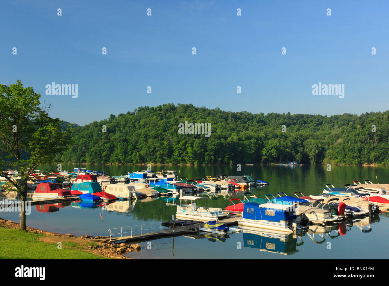
You've probably seen the photos. One month, the Youghiogheny River Lake is a shimmering, expansive playground for pontoon boats and jet skis. The next, it looks like a moonscape, with the jagged remains of the old Route 40 "Great Crossings Bridge" rising from the mud like a ghost from 1818.
It’s jarring. Honestly, if you aren't familiar with how the U.S. Army Corps of Engineers runs this place, you might think there's a crisis every time the shoreline recedes fifty feet. But the yough lake water level isn't just a random act of nature; it’s a highly choreographed, sometimes frustrating dance between flood control, power generation, and the simple desire to catch a walleye.
The Reality of the Winter Drawdown
Right now, as we move through January 2026, the lake is sitting in its "winter pool" phase. For anyone checking the gauges today, the pool elevation is hovering around 1,399 feet.
To put that in perspective, the normal summer recreation level is roughly 1,439 feet. That is a 40-foot vertical drop. If you're standing on the docks at the Yough Lake Marina in July, and you come back in January, you're looking at a completely different geography.
Why do they do it? Basically, the Army Corps needs "storage." When the spring thaws hit the Laurel Highlands and those heavy April rains start dumping into the basin, the dam at Confluence has to be ready. If the lake was kept full year-round, a single massive storm could swamp the Youghiogheny and Monongahela valleys. By dropping the level in the winter, they create a giant empty bowl ready to catch the runoff. It’s boring infrastructure stuff that saves billions in property damage downstream in places like Connellsville and McKeesport.
Why 2026 Feels a Bit Different
We’ve had a weird run lately. Last year, in 2025, we saw some significant drought scares that actually forced the marina to pull docks early.
According to recent data from the USGS station at the dam (03077500), the inflow has been somewhat sluggish this winter. While the lake is technically "filling" back up from its lowest December points, the rate is slower than the historical average.
- Summer Pool Target: 1,439 feet (usually reached by May)
- Current Status: ~1,399 feet
- Critical Bridge Exposure: 1,384 feet (when the old bridge deck is fully visible)
If you're a boater, you need to keep an eye on the 1,412-foot mark. That’s the magic number where many docks start becoming unusable. If we don’t get a solid snowpack in the mountains this February, the climb back to summer pool might be a nail-biter.
The Deep Creek Connection
People often forget that the yough lake water level is also tethered to what's happening upstream in Maryland. Deep Creek Lake feeds the Youghiogheny River, and their releases are governed by a complex set of rules designed to keep the river temperature low enough so the trout don't literally cook in the summer.
When Deep Creek releases water for whitewater rafting or temperature control, it eventually ends up in the Yough reservoir. However, if Maryland is holding back water because their own levels are low, our "big lake" suffers. It’s a delicate balance. One guy wants to raft in Friendsville, another wants to water ski in Somerset County, and the fish just want to breathe.
What This Means for Your 2026 Plans
If you're planning a trip, don't just look at the weather. Check the gauge.
For Fisherman: Low water isn't always bad. It concentrates the fish. However, as the Pennsylvania Fish and Boat Commission noted after the 2019 fish kill, extreme low pool combined with high heat is a recipe for disaster. Keep an eye on the water temps once the level drops below 1,410.
For History Buffs: If the level stays below 1,390 for an extended period this spring, get your camera ready. The Great Crossings Bridge is one of the coolest sights in Western PA, but it’s a sign that the reservoir is struggling.
For Boaters: Memorial Day is the traditional "full" date. But "full" is a relative term. If the Army Corps is predicting a dry summer, they might hold water longer. If they expect floods, they’ll dump it.
Actionable Steps for Tracking the Level:
- Bookmark the USACE Pittsburgh District page. They post the "Daily Reservoir Data" which is the only 100% accurate source.
- Watch the Connellsville Gauge. If the river is running high there, it usually means the dam is releasing heavily to manage the lake's rise.
- Check the Marina's Facebook. Local business owners like those at the Yough Lake Marina are usually the first to sound the alarm when the water gets "dicey" for launching.
- Download a River App. Most whitewater apps pull USGS data in real-time, which is much faster than waiting for the evening news.
The Yough is a working lake. It’s not meant to stay pretty and static like a backyard pond. Understanding that the "missing" water is actually just a safety margin for the towns downstream makes those muddy banks a lot easier to stomach.