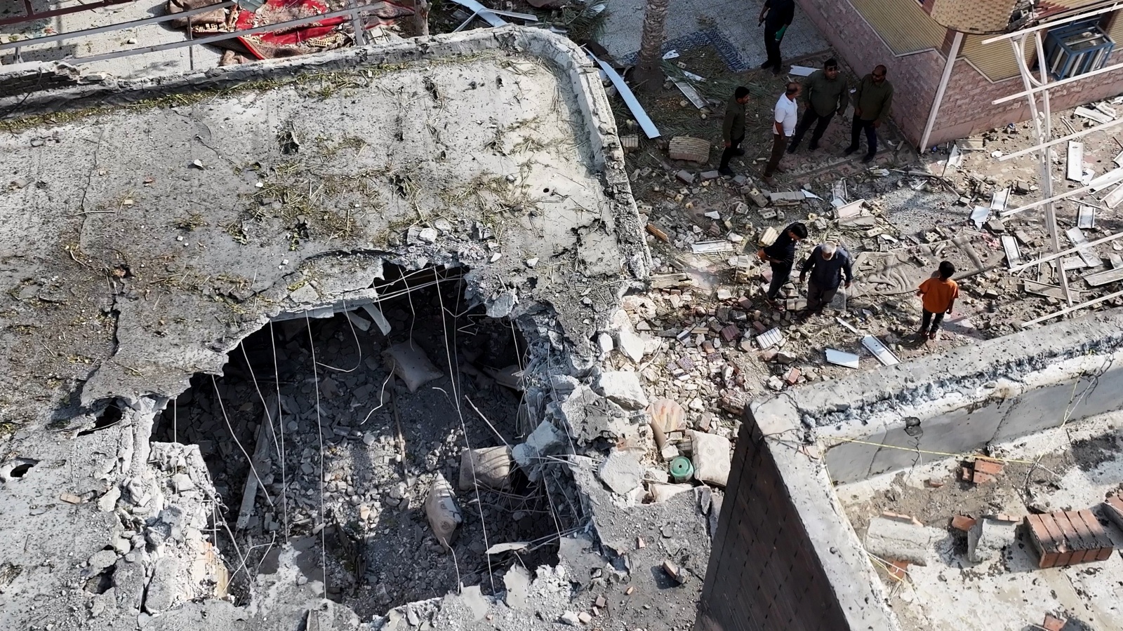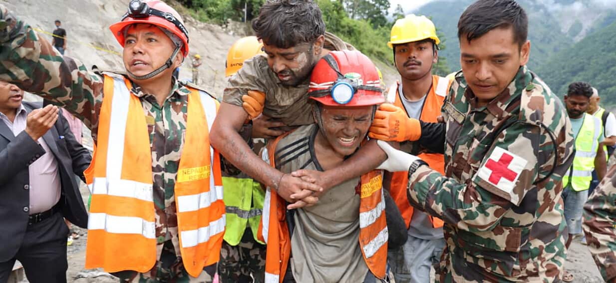
When a massive wall of water, mud, and debris tore through Nepal's Trishuli valley, standard emergency protocols broke down instantly. More than 2.2 million tonnes of earth choked the region following a catastrophic glacial and mountain collapse near the border. Amid the chaos, an ad-hoc digital network formed out of pure necessity. A simple smartphone messaging application turned into an emergency lifeline.
If you're wondering how modern disaster response actually adapts when infrastructure vanishes, look no further than this grassroots digital command center. Over 500 engineers, former hydropower employees, and government officials crammed into a single WhatsApp chat to map out the unmappable.
Decoding Destroyed Tunnels in Real Time
Heavy machinery and helicopters can only do so much when you're facing a subterranean maze filled with debris. The August 26 disaster altered the physical landscape so drastically that surface maps became useless. Entrances to crucial hydropower plants vanished beneath towering mounds of rock and sludge.
Rescue workers needed architectural blueprints immediately. They didn't call a bureaucratic hotline. They opened WhatsApp.
When teams faced the buried remains of the Chilime hydropower plant, a government official typed a direct plea into the group chat asking for layout drawings. Within minutes, a chat member shot back structural schematics of the powerhouse and detailed access paths. That instant data exchange happened hundreds of times over, guiding personnel through flooded corridors where every footstep carried lethal risk.
The Human Element Behind the Screen
Technology alone doesn't save lives. Human memory does. Former plant workers who knew the interior layouts by heart joined forces with structural engineers inside the chat.
When floodwaters shift internal chambers and block standard routes, textbook instructions fail. Workers who spent years operating those facilities guided rescuers through hidden pockets and ventilation routes. They explained where air pockets might form and how different subterranean chambers connected.
This crowdsourced intelligence paid off in extraordinary ways. At the Upper Trishuli 3A hydropower station, rescue personnel spent nearly a week just trying to break through to a buried tunnel. Teams pumped oxygen through improvised pipes into potential cavities. That persistence bore fruit when two workers—mechanical foreman Sanjay Sah and mechanical supervisor Kabir Maharjan—were pulled out alive after surviving nine days trapped underground.
Tracking the Missing Through Digital Footprints
Beyond physical navigation, the group tackled another nightmare: tracking thousands of missing people.
Official records show the disaster claimed over 1,200 lives, with nearly 4,000 individuals initially unaccounted for. Families desperately searched for answers. Inside the messaging group, members compiled lists of names and mobile numbers, passing them directly to government liaisons. Authorities coordinated with telecommunications providers to ping last known phone locations, narrowing down where missing engineers and operators might have been when the deluge hit.
Operating across six different hydroelectric sites in the valley, the network proved that decentralized communication often outpaces rigid institutional bureaucracy during sudden catastrophes. While heavy excavators moved rock above ground, smartphones coordinated the microscopic details happening deep beneath the debris.
The crisis exposed vulnerabilities in regional infrastructure, wiping out a significant chunk of the nation's generation capacity. Yet, it also highlighted a resilient, grassroots approach to survival. When formal systems collapse, human ingenuity fills the gap, one text message at a time.
For those tracking emergency response evolution, the lesson is clear. Future disaster management must integrate lightweight, peer-to-peer communication tools alongside heavy rescue gear to bridge the gap between field teams and institutional knowledge holders.
Nepal Floods: 'Maps, Last Locations..'; How WhatsApp Group Is Helping Rescuers In Difficult Terrain?
This video provides a detailed look at how the engineer-led WhatsApp group is assisting rescue operations and mapping out difficult terrain in Nepal.
http://googleusercontent.com/youtube_content/1