Maps are supposed to be promises. You draw a line around a parcel of earth, color it in with confidence, and tell yourself that what is inside belongs to a single story.
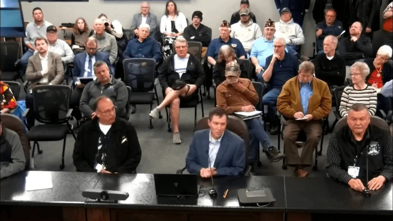
Then someone stands up in a folding chair at a community meeting and says, "Wait a minute. That line runs right past my mailbox."
Quiet.
That is usually how big compromises begin—not with lawyers shouting across mahogany tables or headlines blaring from screens, but with a neighbor pointing at a printed map and asking a plain question about the road outside their window.
When a Minnesota tribe scales back a proposed casino land request by nearly three-quarters after local residents raise concerns, the surface story looks like a retreat. On paper, a reduction of roughly seventy-five percent reads like a project trimmed down to size, a grand vision pared back by friction, red tape, and neighborhood pushback. Anyone who has spent time watching land-use battles unfold in rural and semi-rural towns knows that reflex. We are trained to treat compromise as defeat—as proof that someone lost ground they originally wanted.
I have sat in enough town halls and county board rooms over the years to feel the weight of that assumption in my bones. The fluorescent lights hum too loudly. Someone brings a thermos of lukewarm coffee that tastes faintly of burnt paper. Outside, gravel crunches under tires, and the air smells like damp earth, exhaust, and cold wind. Inside, people hold folders thick with maps, tax estimates, traffic notes, and personal anxieties they rarely say out loud.
It is confusing. It can feel genuinely scary. When a major development enters a community—especially one tied to tribal sovereignty, reservation land, off-reservation trust applications, or economic survival—everyone brings a different set of fears into the room. Local homeowners worry about traffic, property values, noise, water, and the sudden arrival of heavy commercial activity next to quiet pastures or tree lines. Tribal leaders and citizens carry a much older, sharper reality: the long, painful history of dispossession, the struggle to build durable economic self-sufficiency after generations of broken treaties and restricted opportunities, and the urgent need for revenue that funds healthcare, housing, schools, and elder care.
To treat those two realities as simple enemies is lazy. Worse, it misses what actually happens when a proposed footprint shrinks by roughly seventy-five percent.
A massive drop in acreage is not automatically a collapse of ambition. Sometimes, shrinking the map is how you save the project.
The Weight of an Outline
Picture a wide sheet of paper spread across a folding table in a community center. Let us use a hypothetical scenario to see how the geometry of a land dispute works in human terms. Imagine a character named Arthur, a retired mechanic who has lived along the same two-lane county road for forty-two years. Arthur is not an activist. He does not show up to meetings looking for a fight. He shows up because a red boundary line on a handout passes uncomfortably close to the ridge where he watches deer at dusk and where his daughter occasionally parks her camper.
To Arthur, that red line feels like a wall advancing toward his porch. He imagines semi-trucks shifting gears at two in the morning, bright neon cutting through pine branches, and a quiet stretch of country turning into a strip of asphalt and exhaust. His reaction is visceral. Even before anyone finishes explaining zoning, utilities, or economic projections, his stomach tightens.
Now sit across the table—or in the next row—from a hypothetical character named Maya, a tribal council member working to help her nation secure a stable financial future. Maya looks at the same map through a completely different lens. For her, a casino or gaming-related development is rarely about glamour or high rollers. It is about clinics staying staffed, language programs surviving, young families finding steady paychecks close to home, and a sovereign nation exercising its rightful authority to build wealth on its own terms. When Maya draws a wider boundary on an initial proposal, she is often trying to leave room for parking, buffers, access roads, future phases, or negotiating leverage in a process notorious for slow federal reviews and shifting political winds.
Neither Arthur nor Maya is a cartoon villain. Both are defending something real.
When an initial land request covers a large expanse, it triggers the biggest possible version of everyone's imagination. Neighbors picture the worst-case footprint. Officials picture maximum strain on roads, emergency services, and local budgets. Critics argue that the scale is too aggressive for the surrounding area.
Then comes the pivot that surprises people who expect a binary war: the tribe cuts the land request by nearly seventy-five percent.
Think about what happens to the geometry of that map. A parcel reduced to roughly a quarter of its original size forces discipline. Instead of casting a wide net over every possible contingency, the revised request has to focus on what is actually essential—the core site, the practical footprint, the places where development makes sense without swallowing surrounding buffer zones or sensitive edges.
Let's use a metaphor to make the shift clear. Imagine packing for a long trip by tossing everything you might conceivably need into the back of a pickup truck—extra tools, spare blankets, crates of supplies, gear for three seasons. When you get to the highway, you realize the load is too heavy, too wide, and blocking your rearview mirror. Unloading seventy-five percent of the bulk does not mean you canceled the trip. It means you figured out what you actually need to reach the destination safely.
Why Land Battles Hit So Hard in Minnesota
Land is never just dirt in the Upper Midwest. It is memory, livelihood, tax base, and identity all pressed into the same soil.
Over decades, communities across Minnesota have navigated complex questions surrounding tribal land requests, trust acquisitions, gaming compacts, and local partnerships. Whenever a tribe seeks to acquire or convert land for a casino or commercial enterprise, layers of law and emotion stack up fast. Federal rules, state frameworks, county perspectives, municipal concerns, and neighboring property owners all intersect. Because casino projects carry high visibility and strong feelings—some people welcome jobs and tourism, while others worry about traffic, social costs, or changing community character—even a preliminary map can spark intense debate.
Sometimes those disputes drag on for years in bitter stalemate. Lawsuits fly. Positions harden. Everyone digs trenches and waits for the other side to blink.
When a tribe instead reduces its land request by nearly seventy-five percent after hearing from locals, it changes the rhythm of the conversation. It signals that the initial boundary was a starting point rather than an immovable ultimatum. For residents who feared being overrun, a dramatic cut in acreage feels like someone actually listened to where the line was drawn. For supporters of the project, a smaller, tighter request can look like a pragmatic step toward clearing hurdles, easing local resistance, and keeping momentum alive rather than letting the whole effort stall in endless opposition.
Still, anyone paying close attention knows better than to celebrate too early or assume every worry vanishes overnight. A smaller footprint solves some problems and leaves others on the table. Traffic still has to go somewhere. Roads still wear down. Water, sewer, lighting, and emergency response still matter on twenty-five percent of the acreage just as they did on a hundred percent. A smaller map lowers the volume of the alarm bells, yet it does not erase the need for honest numbers and concrete agreements.
What People Really Ask When the Numbers Drop
Whenever news breaks that a proposed casino land request has been cut by nearly three-quarters, people naturally start asking practical questions beneath the headline.
Why ask for so much in the first place if you could cut it by seventy-five percent later? In real estate and major development—whether tribal, corporate, or municipal—early proposals frequently cast a wider footprint to account for site planning, buffers, access corridors, or negotiating room before details are locked in. Once public feedback highlights specific friction points, trimming excess acreage can be a way to target the core footprint more precisely.
Does shrinking the land request mean the project is dead or failing? Not necessarily. Scaling back the land footprint is often a strategic recalibration rather than an abandonment of the goal. A tighter request can reduce opposition, narrow environmental or infrastructure questions, and focus attention on the most viable portion of the site.
Do local concerns actually carry weight in these decisions? Yes—when they surface early enough to shape revisions before positions become completely entrenched. Listening does not mean handing veto power to every rumor, nor does it mean surrendering core interests, but responding to specific local friction can turn a powder keg into a negotiation.
Will neighbors stop worrying just because the acreage is smaller? Probably not all at once. Trust built through compromise is fragile. People watch what happens next: how the remaining parcel is planned, how buffers are handled, how roads and services are addressed, and whether promises hold up once blueprints get more detailed.
The Quiet Shift in the Room
Go back to that hypothetical community meeting for a moment. Imagine the same folding chairs, the same hum of fluorescent lights, the same crumpled paper maps.
Before the reduction, Arthur sat near the back with his arms crossed, jaw tight, convinced that a massive footprint meant his quiet corner of the county was already gone. Maya sat at the front carrying the weight of her community's needs and bracing for hostility.
Now put a revised map on the table showing a land request cut by nearly seventy-five percent.
Arthur leans forward. He still has questions. He is not going to throw his hat in the air and cheer overnight. Skepticism is part of who he is, and frankly, healthy skepticism keeps public projects honest. Yet the red line no longer feels like it is swallowing the whole neighborhood whole. There is breathing room between fear and fact.
Maya watches him lean forward. She knows that compromise requires vulnerability. Giving up acreage on a proposal can feel risky when you have fought hard just to get a hearing. At the same time, a smaller, more focused request can clear away noise so the real substance of the project—jobs, economic stability, responsible planning—can be judged on clearer ground.
That is the hidden drama inside a headline about a seventy-five percent reduction. It is not a story about winners and losers neatly sorted into columns. It is a story about friction forcing clarity. When a proposal is huge and vague, people fight shadows. When a footprint shrinks to a tighter, more defined shape, the conversation has a chance to move from general dread to specific reality.
What Remains After the Line Moves
There is something deeply human about watching people step back from the brink of an all-or-nothing fight. Politics and public debates love extremes. We are nudged constantly to see every land dispute as a zero-sum battle where one side's gain must be another side's ruin.
Real life is messier, slower, and occasionally more surprising than that.
A tribe cutting a casino land request by roughly seventy-five percent after local pushback reminds us that scale can be negotiated, that listening can alter a trajectory, and that shrinking a footprint does not have to mean shrinking hope. Yet it also leaves us with a sharp, lingering question for every town standing at the edge of change: once the map gets smaller and the noise dies down, do we have the patience and honesty to build something fair on the ground that remains?
Outside, the gravel road still runs straight past the trees, waiting for whatever comes next.