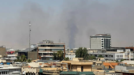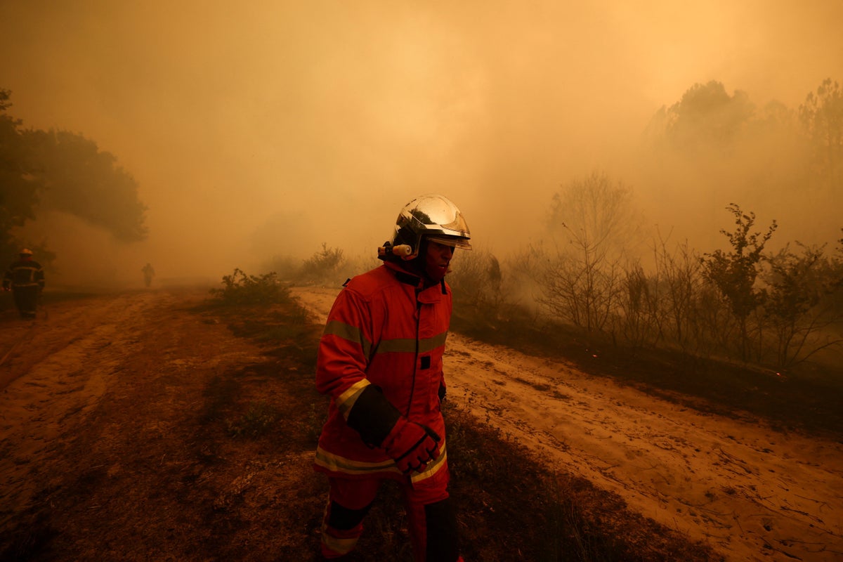
Smoke Over the Arcachon Bay
When thousands of tourists and locals fled down the solitary peninsula highway out of Lège-Cap Ferret, choking on embers and ducking under an ash-choked twilight, the world framed the event as an unpredictable natural disaster. It was cinematic. It was terrifying. But calling it an act of God misses the point entirely. The inferno that turned one of France’s most exclusive coastal enclaves into a blazing funnel was not an isolated stroke of bad luck. It was the predictable consequence of a structural failure in pine forest management, severe water table depletion, and emergency response infrastructure that was never built to handle the modern climate reality.
For decades, the Landes de Gascogne forest—a massive man-made plantation of maritime pine stretching across southwestern France—has been praised as an economic marvel and a green barrier against coastal erosion. Today, that same monotypic grid of highly flammable timber acts as an industrial-scale fuse. When summer heat spikes intersect with dried-out peat soil and a single spark, the result is not just a forest fire. It becomes a localized firestorm that bypasses traditional containment lines and shuts down critical evacuation corridors in minutes.
The true disaster of Lège-Cap Ferret is not just that the forest burned. The disaster is that the vulnerability was documented, calculated, and ignored long before the smoke blotted out the sun over the Atlantic.
The Industrial Forest Problem
To understand why southwestern France keeps catching fire with catastrophic intensity, you have to look past the flames and examine the trees themselves.
The Landes region is not a primeval wilderness. It is a commercial crop. Standard forestry practices over the last half-century favored close-density planting of Pinus pinaster because the species grows fast and yields lucrative resin and timber. However, uniform pine stands create a uniform fuel load. Resin is essentially solid turpentine. When exposed to prolonged drought, maritime pines shed vast quantities of volatile organic compounds, creating an atmospheric fuel mix that needs almost nothing to ignite.
Traditional Deciduous Woodland        Monoculture Pine Plantation
[Moisture-rich leaf canopy]          [Highly flammable resin canopy]
[Deep root water retention]          [Shallow soil drying]
[Slower flame propagation]           [Rapid, explosive crown fires]
Underbrush management presents an equally grave hazard. In a healthy mixed forest, broadleaf trees like oak act as natural firebreaks, retaining moisture and slowing wind speeds near the ground. In dense commercial pine plantations, dry ferns and gorse form a continuous, uninterrupted carpet of tinder across thousands of hectares.
Once a ground fire hits this understory, it quickly climbs the resinous bark of the trees, transitioning into what firefighters call a crown fire. Crown fires move at terrifying speeds, hopping from treetop to treetop independently of ground movement. At that point, conventional firebreaks like two-lane roads become utterly useless. The air currents generated by the heat throw burning pinecones hundreds of meters ahead of the main fire front, starting fresh blazes behind advancing evacuation lines.
The Geography of an Evacuation Bottleneck
The geography of the Cap Ferret peninsula makes it an exceptional tourist destination, but a nightmare for civil protection planners.
A long, narrow strip of land separating the Arcachon Bay from the Atlantic Ocean, Cap Ferret has essentially one primary road in and out: the Departmental Road 106. During peak summer months, the local population swells from roughly 8,000 permanent residents to well over 40,000 visitors.
When embers began raining on the northern edge of the peninsula, D106 was instantly saturated. Vehicles bumper-to-bumper, engines idling in extreme heat, surrounded on both sides by dense, unmanaged pine woods.
Critical Evacuation Risks
- Single-point failure: The reliance on a single main artery leaves zero redundancy if flames cross the pavement.
- Visibility reduction: Thick, toxic smoke drops daylight visibility to near zero in seconds, causing multi-vehicle pileups that completely block emergency vehicle access.
- Radiant heat trapping: Cars trapped on forest-lined highways act as thermal collectors, raising interior cabin temperatures to lethal levels long before actual flames touch the vehicle.
Fire commanders face an impossible calculus during these events. Should they hold civilians in place on vulnerable beaches, or route them onto a narrow highway that could be swallowed by a flank shift in the wind? In the recent evacuations, thousands were sent north straight through falling ash simply because remaining on the spit presented an even higher risk of total entrapment.
Water-dropping aircraft, often hailed as the ultimate solution in French regional media, are constrained by these exact conditions. Canadair amphibious planes rely on calm water surfaces to scoop load after load from the bay. But when turbulent superheated air rises off the burning canopy, creating violent updrafts, aerial dropping drops in precision and safety margins narrow to zero. Aerial support cannot put out a crown fire on its own; it merely buys time for ground crews who are already boxed out by the terrain.
Neglected Ground Realities and Strategic Miscalculations
Local municipalities often point to unprecedented weather patterns as an unassailable excuse. While extreme heat waves certainly set the stage, the underlying vulnerability is rooted in budget cuts and regulatory paralysis.
For years, local forest defense associations—known locally as the Associations Syndicales Autorisées de Défense des Forêts contre l'Incendie (ASA-DFCI)—have warned that maintenance of forest tracks, water points, and perimeter clearings was falling behind. Many artificial water basins constructed in the mid-20th century to feed firefighter tankers have suffered from siltation and poor maintenance.
At the same time, land ownership in the Gironde department is fragmented among thousands of private parcel owners. While public forestry services maintain strict standards on state-owned land, private owners often lack the financial incentive or regulatory enforcement to clear brush (débroussaillage) around their properties. This creates a mosaic of neglected, highly flammable plots interspersed between residential neighborhoods and camping sites.
Key Takeaway: A fire protection system is only as strong as its most neglected private parcel. When one plot of land accumulates decades of uncleared deadwood, it compromises the safety of the entire surrounding canton.
Furthermore, water tables across the region have suffered from years of over-allocation for seasonal agriculture and growing residential demand. Dry subterranean peat layers burn underground for weeks, undetected by thermal imagery until they suddenly breach the surface yards away from active containment lines. Fire crews find themselves fighting an enemy that travels simultaneously through the air and under their feet.
The Flawed Playbook for Future Seasons
The response from regional authorities usually follows a familiar script: promise more aerial firefighting assets, praise the heroism of local first responders, and frame the event as a freak climate occurrence. This approach avoids addressing the structural economic incentives that guarantee future burns.
True resilience requires uncomfortable choices that clash with regional real estate values and timber revenue.
| Current Model | Necessary Reform | Structural Obstacle |
|---|---|---|
| Monoculture Pine Farming | Mandated mixed-species planting with deciduous buffer zones | Lower short-term yield for private timber companies |
| Voluntary Brush Clearing | Strict enforcement and fines for non-compliant landowners | High administrative cost and local political pushback |
| Single-Corridor Evacuation | Maritime evacuation infrastructure and wide clear-cut buffers | Environmental zoning restrictions along coastal zones |
Clear-cutting wide buffer strips along major transit routes like the D106 is politically unpopular. It transforms scenic forest drives into stark, barren corridors. Yet, without clear zones of at least 100 meters on either side of vital roads, future evacuations will face the exact same risk of entrapment.
The reliance on seasonal seasonal firefighters also exposes a labor bottleneck. While professional brigades form the core of the response, massive multi-front blazes rely heavily on seasonal volunteers. As wildfire seasons stretch earlier into the spring and deeper into the autumn, the volunteer model faces severe strain. Expecting seasonal workers to battle industrial-scale forest fires year after year without permanent career pathways is a strategy built on borrowed time.
Rethinking Coastal Fire Preparedness
If the scenes of ash falling over Cap Ferret prove anything, it is that coastal tourism and uncontrolled commercial forestry cannot coexist under historical operational rules.
The coastal strip can no longer be treated as an isolated vacation paradise that happens to sit next to a forest. It is a high-risk industrial zone where the commodity being grown is combustible timber. Until municipal codes require massive, permanent fuel breaks around tourist corridors, enforce strict land-clearing mandates on private owners, and overhaul emergency maritime extraction plans for peninsula populations, the road out of Lège-Cap Ferret will remain a trap waiting to spring closed.