The unveiling of a revised maritime map by Iranian armed forces represents more than a cartographic update; it is a formal declaration of Maritime Domain Awareness (MDA) intended to alter the legal and kinetic calculus of the Persian Gulf. By asserting a specific, documented control zone over the Strait of Hormuz, Tehran is shifting from reactive posturing to a proactive, codified doctrine of territorial oversight. This move targets the fundamental vulnerability of global energy markets: the physical narrowness of a chasm that facilitates the transit of 21 million barrels of oil per day.
The strategic intent behind this map is grounded in three functional pillars: the codification of "Internal Waters" claims, the integration of asymmetric surveillance assets, and the establishment of a legal pretext for interdiction.
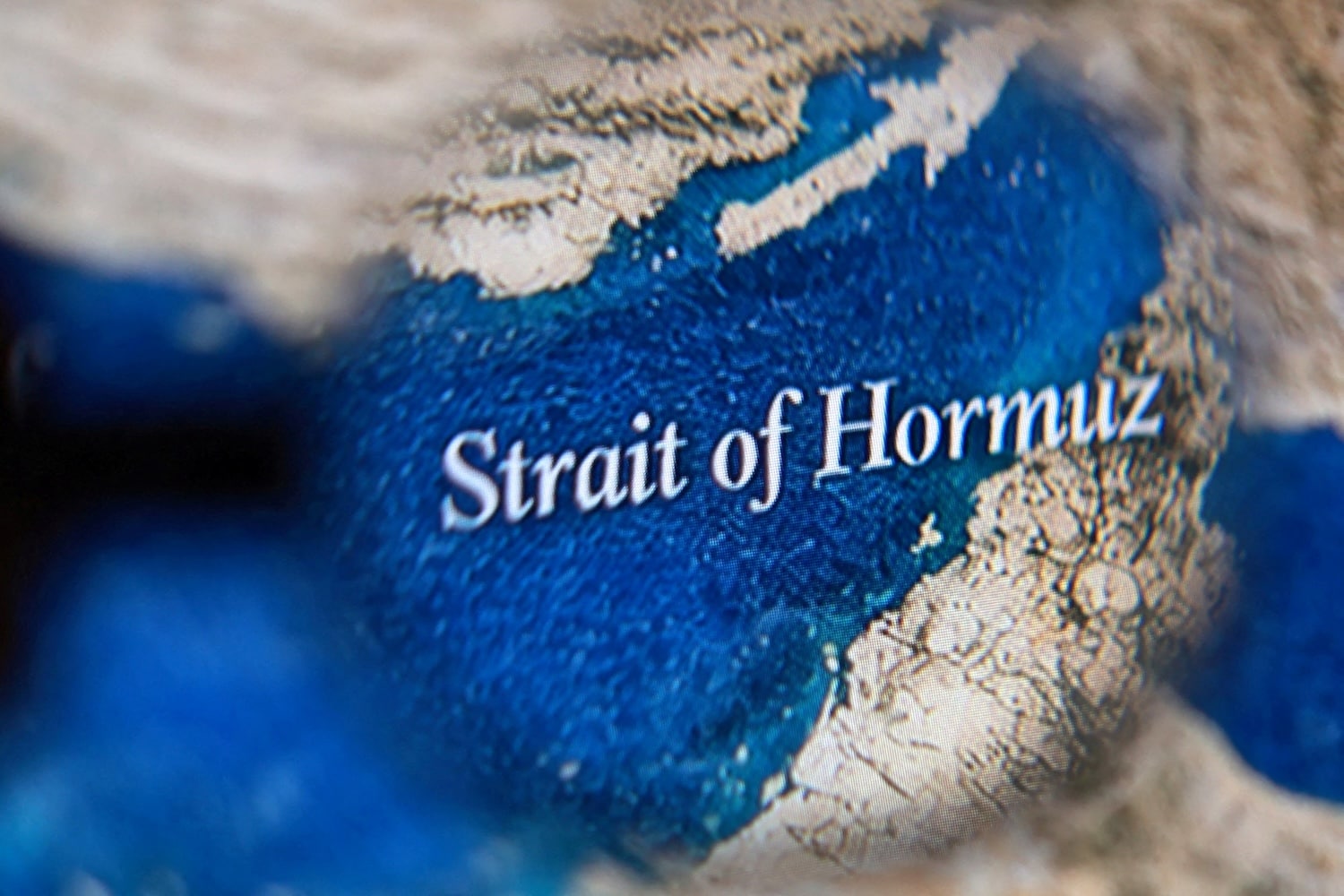
The Legal-Spatial Framework of Iranian Claims
The Strait of Hormuz is governed by the United Nations Convention on the Law of the Sea (UNCLOS), specifically the regime of "transit passage." Under this international standard, vessels and aircraft enjoy the right of unimpeded navigation and overflight for the purpose of continuous and expeditious transit. Iran, however, has signed but not ratified UNCLOS 1982. This creates a legal friction point that Tehran exploits through its domestic legislation, specifically the 1993 Law on the Territorial Sea and the Contiguous Zone.
The new map serves as a visual enforcement of the Iranian "Innocent Passage" interpretation. Unlike transit passage, innocent passage allows a coastal state to suspend navigation if it deems the transit prejudicial to its peace, good order, or security. By mapping the Strait as a strictly controlled zone, Iran is signaling that it views the entire waterway—including the deep-water channels used by VLCCs (Very Large Crude Carriers)—as subject to Iranian regulatory oversight.
This creates a specific bottleneck in international maritime law. The shipping lanes in the Strait are located within the territorial waters of Iran and Oman. By asserting a new map of "Armed Forces Control," Iran is effectively attempting to negate the internationalized nature of these lanes, treating them as domestic sovereign territory rather than an international highway.
Technical Integration of the Surveillance Mosaic
The "control" depicted on the map is not merely symbolic; it is the output of a multi-layered sensor mesh. To move from visibility to control, a coastal power must achieve a high-fidelity Common Operational Picture (COP). Iran’s current technical architecture for monitoring the Strait consists of three distinct tiers:
- Coastal Radar and SIGINT Nodes: Utilizing high-frequency (HF) and microwave radar arrays stationed on Qeshm, Hengam, and Hormuz islands. These nodes provide persistent tracking of every transponder-active vessel and, increasingly, passive "dark" targets through cross-referenced signal intelligence.
- Unmanned Aerial Systems (UAS) Persistence: The integration of Mohajer and Shahed-class drones provides a visual verification layer. While radar detects a "blip," the UAS provides the "identification," allowing the Iranian Revolutionary Guard Corps Navy (IRGCN) to categorize vessels by intent, cargo, and flag state in real-time.
- Subsurface Detection: Though less publicized, the installation of bottom-mounted acoustic sensors in the narrowest segments of the Strait allows for the tracking of submarine transit, challenging the stealth advantages of Western naval assets.
This surveillance mosaic converts the Strait of Hormuz into a "transparent" battle space. In this environment, the element of surprise for conventional naval forces is significantly degraded. The map acts as the user interface for this integrated sensor network, communicating to global actors that "blind" transit is no longer possible.
The Cost Function of Maritime Interdiction
When a regional power asserts control over a chokepoint, it fundamentally alters the War Risk Insurance mathematics for global shipping. The primary mechanism of control is not total blockage—which would be economically suicidal for Iran—but "incremental friction."
The cost function of this friction is calculated by:
$$C = (P_{i} \times L_{t}) + I_{r}$$
Where:
- $C$ is the total economic cost to the shipping entity.
- $P_{i}$ is the probability of interdiction or inspection.
- $L_{t}$ is the time loss associated with diverted routes or boarding operations.
- $I_{r}$ is the spike in insurance premiums resulting from the perceived lack of sovereign protection.
By formalizing their control on a map, Iran increases $P_{i}$ in the minds of maritime insurers. Even without firing a shot, the mere assertion of "Armed Forces Control" forces shipping companies to weigh the risks of Iranian boardings against the costs of choosing alternative, less efficient routes or utilizing expensive private maritime security companies.
Asymmetric Escalation and the "Grey Zone"
The Iranian map is a tool for Grey Zone Warfare—actions that fall below the threshold of open conflict but above the level of normal diplomatic competition. The geography of the Strait favors the asymmetric actor. The shipping lanes are roughly two miles wide, flanked by two-mile-wide buffer zones. This constrained environment nullifies the range advantages of large carrier strike groups and favors the IRGCN’s "swarm" tactics.
The "control" indicated on the map suggests a doctrine of Anti-Access/Area Denial (A2/AD). Iran’s tactical philosophy relies on:
- Fast Attack Craft (FAC): Small, high-speed boats armed with anti-ship missiles (ASMs) or man-portable air-defense systems (MANPADS).
- Mobile Shore-Based Batteries: The Noor and Ghadir missile systems, which can be repositioned along the coastline to prevent the suppression of fixed launch sites.
- Smart Mine-Laying: The ability to rapidly deploy bottom-dwelling or moored mines that are difficult to detect in the high-clutter environment of the Strait.
The mapping of these zones provides the IRGCN with a "home field" advantage. It defines the boundaries where they feel confident engaging in high-stakes maneuvering, such as the seizure of the Stena Impero or the Advantage Sweet. The map is the spatial definition of their "active defense" perimeter.
Geopolitical Signaling and Information Operations
The timing of this map's release is a calibrated signal to the "BRICS+" and "Shanghai Cooperation Organization" (SCO) partners. By demonstrating a firm grip on the world's most critical energy artery, Tehran reinforces its position as a regional hegemon that cannot be bypassed in security architectures.
The move also serves to test the "Red Line" of the United States and its allies. The presence of the International Maritime Security Construct (IMSC) and Operation Sentinel is intended to deter Iranian interference. However, when Iran publishes a map claiming control, and that claim is not physically challenged or dismantled, it creates a "new normal." Over time, the lack of a kinetic response to cartographic expansionism allows the claimant to establish Customary International Law through persistent practice.
The strategy is one of "Salami Slicing":
- Publish the map (Normative claim).
- Increase boardings for "environmental" or "regulatory" reasons (Functional claim).
- Establish mandatory reporting requirements for all vessels (Administrative claim).
- Assert the right to deny entry to specific belligerent flags (Sovereign claim).
Each step is too small to trigger a war, yet the cumulative effect is the total enclosure of the Strait.
The Bottleneck of Reliance and Strategic Countermeasures
The primary limitation of the Iranian map strategy is the internal dependence on the same waterway. Iran’s own economy is tethered to the Strait for its petroleum exports. A total closure would be an act of economic self-immolation. Therefore, the map represents a "Threat of Reciprocal Pain."
Counter-strategies must focus on two vectors: Redundancy and Transparency.
The expansion of the East-West Pipeline in Saudi Arabia and the Habshan–Fujairah pipeline in the UAE are direct physical responses to the Iranian map. By bypassing the Strait, these assets reduce the leverage Tehran gains through geographic dominance.
Simultaneously, the deployment of "uncrewed" task forces, such as the U.S. Navy’s Task Force 59, provides a counter-surveillance layer. By flooding the Strait with low-cost, persistent digital eyes, the international community can verify or debunk Iranian claims of "control" in real-time, preventing the IRGCN from controlling the narrative during an interdiction event.
The strategic play for maritime operators and global powers is not to ignore the map, but to aggressively devalue it through high-frequency transits and the refusal to comply with non-standard reporting requirements. The battle for the Strait of Hormuz is currently being fought on paper and in the digital registers of shipping lanes; maintaining the "International" status of the waterway requires a persistent physical presence that rejects the cartographic enclosure of the commons. Non-confrontational but firm adherence to UNCLOS transit passage remains the only mechanism to prevent the "Armed Forces Control" zone from becoming a de facto legal reality.