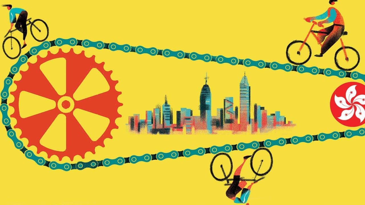
Traditional municipal planning discussions regarding non-motorized transit often collapse into vague appeals for green initiatives and recreational wellness. In high-density territories like Hong Kong, these generic prescriptions fail because they ignore the hard mathematics of spatial scarcity, modal conflict, and infrastructure throughput. Urban mobility here is not a canvas for lifestyle branding; it is a zero-sum competition for linear meters of asphalt and concrete. Evaluating how a metropolitan core can integrate two-wheeled transit requires discarding emotional rhetoric and measuring the precise structural constraints that dictate traffic flow.
The Spatial Cost Function
Urban density in Hong Kong creates an unforgiving cost function for transport planners. Land is finite, heavily capitalized, and prioritized for high-yield throughput such as mass transit railway networks, high-capacity buses, and dense pedestrian corridors.
A standard vehicular lane operating at capacity moves significantly more passengers per hour than a mixed-traffic lane accommodating personal conveyances. When municipal documents suggest carving out dedicated micro-mobility lanes from existing thoroughfares, they create a negative-sum spatial reallocation. Reducing a multi-lane arterial road to accommodate a low-capacity cycle track triggers localized traffic compression, multiplies idling times for public transit buses, and scales up economic friction across commercial supply chains.
The structural barrier is not political will; it is geometric reality. In legacy urban cores such as Central, Wan Chai, or Mong Kok, sidewalks are already compressed to their absolute safety margins to handle pedestrian surges. Carriageways are narrow, frequently interrupted by commercial loading zones, and bound by vertical topography. Attempting to force a bicycle network into this configuration without demolishing structural assets creates an immediate throughput bottleneck.
Modal Fragmentation and the Intermodal Gap
Urban mobility relies on seamless transitions between transit nodes. The city's current planning framework bifurcates transport networks into two distinct operational realities: high-density urban nodes governed by heavy rail and buses, and suburban new towns in the New Territories where recreational tracks were historically integrated into residential planning.
This separation produces an intermodal gap. Cyclists traveling from suburban networks encountering urban boundaries face abrupt infrastructure termination. At these junctions, regulatory frameworks mandate dismounting, transforming a continuous transit mechanism into a broken, multi-step chore.
The friction points manifest at grade-separated intersections, pedestrian crossings, and driveways. Because two-wheeled conveyances are legally classified as vehicles under the Road Traffic Ordinance yet lack continuous physical routing on urban arterial streets, operators are forced into continuous deceleration loops. Every mandated dismount destroys the primary economic value of active transport: point-to-point velocity and minimal kinetic energy expenditure.
The Economic and Safety Trade-Off Matrix
Promoting active transport as a first-mile and last-mile connector sounds strategically sound in theory, but operational execution exposes severe safety vectors. Heavy commercial vehicle dominance, aggressive bus schedules, and frequent roadside loading operations in dense commercial zones generate high variance in road user behavior.
When vulnerable road users share narrow corridors with multi-ton commercial vehicles in environments lacking physical separation, the accident severity coefficient rises exponentially. Constructing physical barriers requires capital expenditure that must be weighed against alternative public investments, such as subterranean pedestrian links or rail capacity expansions, which yield far higher passenger-kilometer returns per dollar spent.
Strategic Deployment Architecture
To transition from recreational isolation to functional utility, municipal intervention cannot rely on blanket mandates. It requires targeted spatial isolation and topographic compartmentalization.
Plan for active mobility strictly within newly developed land parcels, Kai Tak developments, or master-planned suburban environments where right-of-way can be engineered ab initio. In these zones, grade separation between pedestrian paths, micro-mobility tracks, and heavy vehicles eliminates the conflict matrix entirely.
In legacy urban zones, abandon attempts to retrofit linear surface-level bike lanes. Instead, capitalize on vertical segregation by deploying elevated micro-mobility skyways or repurposed industrial utility corridors that bypass street-level freight operations.
Prioritize storage over surface tracks. The primary constraint for urban commuters is not just riding space, but secure terminal infrastructure at mass transit interchanges. Deploying high-density, automated subterranean bicycle storage lockers adjacent to major transit hubs captures the first-mile value without consuming surface roadway capacity.
Execute regulatory sandboxing on specific waterfront promenades and low-density outlying islands where commercial freight traffic is absent. Use these controlled environments to measure genuine demand elasticity before committing capital to complex retrofits.
Restrict micro-mobility expansion entirely in high-density commercial corridors where bus throughput dictates economic survival. Accept that certain topographies and density thresholds render two-wheeled transit mathematically unviable as a primary commuter mode, protecting mass transit velocity from infrastructural degradation.