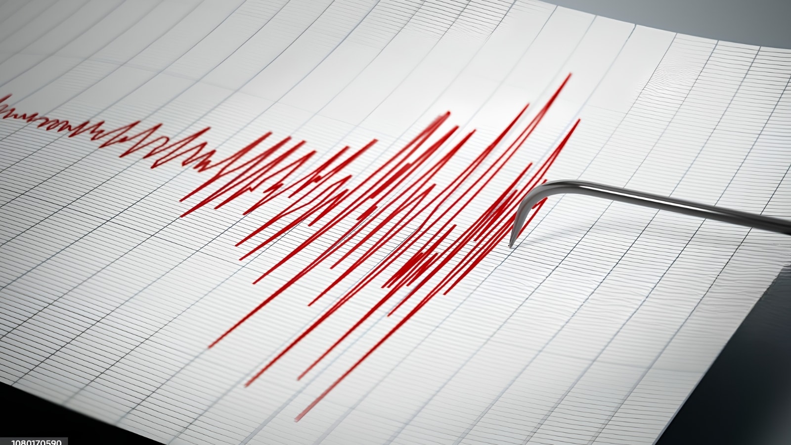
A magnitude 7.2 earthquake off the coast of Vanuatu does not automatically generate a destructive tsunami, yet it invariably triggers an immediate Pacific-wide warning protocol. Standard breaking news reports treat a seismic magnitude reading and a tsunami alert as a simple, linear cause-and-effect event, obscuring the physical thresholds, bathymetric mechanics, and institutional risk-management protocols that dictate whether a coastline faces minor sea-level fluctuations or catastrophic inundation. Understanding the true risk profile of a major Vanuatu seismic event requires separating the initial rupture mechanics from the hydrodynamic propagation models used by the United States Geological Survey (USGS) and the Pacific Tsunami Warning Center (PTWC).
Tectonic Mechanics of the New Hebrides Subduction Zone
Vanuatu sits directly atop one of the most active convergent plate boundaries on Earth. Here, the Australian Plate subducts northeastward beneath the Pacific Plate—and the smaller New Hebrides Microplate—along the New Hebrides Trench at rates varying between 80 and 120 millimeters per year. Because the convergence rate is exceptionally high, elastic strain accumulates rapidly along the megathrust fault interface. In similar news, read about: The Quiet Arithmetic of a "Little Epic Fury".
When that accumulated stress exceeds the frictional strength of the rock, the fault ruptures. A magnitude 7.2 event represents a massive release of elastic strain energy, corresponding to a seismic moment capable of rupturing a fault patch roughly 50 to 70 kilometers in length and 20 to 30 kilometers in width. However, surface reporting almost always fails to distinguish between three critical rupture variables that govern tsunami generation:
- Focal Depth: Earthquakes occurring deeper than 70 kilometers rarely displace the ocean floor sufficiently to generate hazardous waves, regardless of magnitude. The seismic energy attenuates within the crust and upper mantle before deforming the seabed. Shallow-focus events—those occurring at depths of less than 35 kilometers—transfer mechanical energy directly to the overlying water column.
- Faulting Geometry (Focal Mechanism): Strike-slip faults move horizontally, sliding past one another without displacing vertical water volume. Megathrust earthquakes, by contrast, exhibit reverse (thrust) faulting. One crustal block is thrust upward over another, lifting millions of cubic meters of seawater instantaneously.
- Rupture Velocity and Rigidity: Events occurring in the shallowest portion of the subduction zone, near the trench axis where sediments are unconsolidated, can rupture slowly. These "tsunami earthquakes" radiate less high-frequency seismic energy—causing weaker shaking on land—while producing disproportionately large vertical seafloor displacement.
The Hydrodynamic Conversion Process
Once a shallow megathrust rupture lifts the seabed, gravitational potential energy converts into kinetic wave energy. Unlike wind-driven surface waves, which only disturb the upper tens of meters of the ocean, a tsunami involves the movement of the entire water column from the seafloor to the surface. The New York Times has analyzed this important subject in extensive detail.
The propagation speed of a tsunami is governed entirely by water depth, expressed by the shallow-water wave equation:
$$c = \sqrt{g \cdot h}$$
Where $c$ is wave speed, $g$ is the acceleration due to gravity ($9.81\text{ m/s}^2$), and $h$ is the water depth in meters. In the deep waters of the Coral Sea and the South Pacific basin, where depths average 4,000 meters, a tsunami travels at approximately 200 meters per second, or 720 kilometers per hour. At this velocity, the wave amplitude in the open ocean is typically less than one meter, spread across a wavelength exceeding 100 kilometers. Ships passing directly over the wave crest experience no perceptible motion.
As the wave train approaches the insular shelves of Vanuatu's 83 islands—or radiates outward toward New Caledonia, Fiji, and the Solomon Islands—the physics shift abruptly via wave shoaling. As water depth $h$ decreases, wave velocity $c$ drops precipitously. Because the energy flux of the wave must remain conserved, the reduction in speed forces a dramatic compression of the wavelength and a corresponding amplification of wave height.
Local bathymetry dictates whether this amplification results in a 0.3-meter surge or a 5-meter wall of water. V-shaped bays, submarine canyons, and narrow passages between islands act as natural funnels, focusing wave energy onto specific coastal segments while leaving adjacent coastlines largely untouched. Conversely, steep drop-offs with minimal continental shelf—common around volcanic islands—reflect a significant portion of incoming wave energy back out to sea, reducing run-up heights on shore.
The Decision Matrix Behind US Monitoring Protocols
When wire reports state that a "US monitor" has issued a tsunami warning, they refer to a bifurcated operational architecture linking the USGS National Earthquake Information Center (NEIC) in Golden, Colorado, with the National Oceanic and Atmospheric Administration (NOAA) Pacific Tsunami Warning Center in Honolulu, Hawaii.
These agencies do not wait for visual confirmation of a wave to issue alerts. Doing so would guarantee catastrophic loss of life in the near-field zone, where waves can strike the nearest Vanuatu islands within 10 to 20 minutes of the initial rupture. Instead, the PTWC operates on a tiered decision matrix driven by real-time seismic inversion and pre-computed hydrodynamic modeling:
- Phase One: Seismic Detection and Hypocenter Location (Minutes 1–5). Automated broadband seismometers detect primary (P) and secondary (S) waves. Within three to five minutes, algorithms triangulate the epicenter, calculate depth, and establish an initial moment magnitude ($M_w$).
- Phase Two: Threshold Evaluation and Threat Messaging (Minutes 5–10). If the earthquake meets three baseline criteria—an offshore or near-shore epicenter, a depth shallower than 100 kilometers, and a magnitude of 7.1 or greater—the PTWC automatically issues a Tsunami Threat Message. For a magnitude 7.2 event, the standard threat radius encompasses coastlines within 300 kilometers of the epicenter.
- Phase Three: Sea-Level Verification (Minutes 15–60). Following the initial alert, analysts monitor coastal tide gauges and Deep-ocean Assessment and Reporting of Tsunamis (DART) buoys. DART systems pair a bottom pressure recorder anchored to the seafloor with a surface buoy that transmits real-time pressure fluctuations via satellite. These instruments detect tsunami waves as small as one centimeter in the open ocean, allowing the PTWC to either upgrade the warning, expand the geographic threat zone, or cancel the alert entirely.
The critical operational limitation of this system is the near-field blind spot. DART buoys are strategically positioned along major tectonic trenches to protect distant coastlines, such as Hawaii, Japan, and the US West Coast. For populations living on Efate, Espiritu Santo, or Malekula, the tsunami arrives before the wave ever reaches a deep-ocean pressure sensor. In the near-field, the seismic shaking itself serves as the primary warning mechanism.
Operational Realities of Early Warning Dissemination
A precise detection algorithm is useless if the warning fails to traverse the "last mile" to vulnerable coastal communities. In an archipelago like Vanuatu, telecommunication infrastructure faces severe structural vulnerabilities during a magnitude 7.2 earthquake.
Strong ground shaking routinely knocks out terrestrial power grids, severs fiber-optic backhaul cables, and collapses cellular towers. When commercial communications fail, national disaster management offices must rely on redundant, low-bandwidth dissemination channels:
- High-Frequency (HF) Radio Networks: Used to connect the Vanuatu Meteorology and Geo-Hazards Department (VMGD) in Port Vila with provincial disaster committees across outer islands.
- Siren and Acoustic Systems: Solar-powered coastal sirens installed in high-density zones like Port Vila and Luganville, designed to operate independently of the municipal grid.
- Natural Environmental Cues: Because institutional alerts can be delayed or severed by infrastructure failure, emergency management doctrine trains local populations to recognize immediate physical precursors: intense shaking lasting longer than 20 seconds, a sudden and unnatural recession of the tide exposing the reef flat, or a loud roaring sound coming from the ocean.
A persistent failure mode in public reporting is the misinterpretation of a "cancelled" warning. When the PTWC cancels a tsunami threat two hours after a magnitude 7.2 earthquake, media outlets frequently frame the event as a false alarm. From a risk-engineering perspective, this framing is dangerous. A magnitude 7.2 shallow subduction earthquake sits right on the physical threshold of significant tsunami generation. A minor shift in fault slip distribution or a 15-kilometer decrease in focal depth would convert a benign 0.2-meter sea-level anomaly into a destructive surge. Issuing a warning based on seismic thresholds accepts a higher rate of false positives to eliminate the possibility of a fatal false negative.
Strategic Framework for Coastal Risk Assessment
Evaluating the true danger of any future Pacific seismic alert requires discarding headline sensationalism in favor of a structured, four-step diagnostic sequence:
- Verify the Moment Tensor Solution: Ignore the initial Richter ($M_L$) or body-wave ($m_b$) magnitude estimates reported in the first three minutes, which saturate and underestimate large earthquakes. Wait for the USGS W-phase moment tensor ($M_w$), which accurately measures the total energy released and confirms whether the rupture mechanism was reverse thrusting or horizontal strike-slip.
- Audit the Hypocenter Depth: Cross-reference the focal depth against the 35-kilometer threshold. If the rupture occurred at 50 kilometers or deeper, the probability of a hazardous ocean-wide tsunami drops precipitously, even if the magnitude exceeds 7.5.
- Track DART Buoy Pressure Anomalies: Monitor NOAA’s National Data Buoy Center feed for the nearest offshore sensor—specifically Station 55012 or 55023 in the Coral Sea. Flat pressure readings after the calculated wave arrival window confirm that minimal vertical water displacement occurred, regardless of the initial seismic magnitude.
- Account for Resonance and Trapped Waves: Do not assume the threat ends with the first wave crest. In archipelagic environments, tsunami energy becomes trapped along insular shelves, reflecting between islands and oscillating inside harbors for up to 12 hours. The third or fourth wave frequently produces the highest inundation levels when incoming wave periods synchronize with the natural resonant frequency of a bay.
For regional infrastructure planners, maritime operators, and emergency managers, the operational takeaway from a magnitude 7.2 Vanuatu event is clear: treat the initial seismic alert as an immediate trigger for vertical evacuation in the near-field, but rely exclusively on real-time seafloor pressure telemetry—not seismic magnitude alone—to govern port closures, vessel routing, and the lifting of coastal restrictions.